ICM Live - cascading simulations
Efficient hydraulic modelling implies some compromises between :
- The size of the modelled region
- The spatial resolution and accuracy of the results
- The "cost" of these simulations, in terms of computer time and power
In order to maintain a balance between these elements, it can be of interest to setup models working at different scales, that can interact.
Cascading models :
The example below exploits 2 different models :
→ a hydrological model :
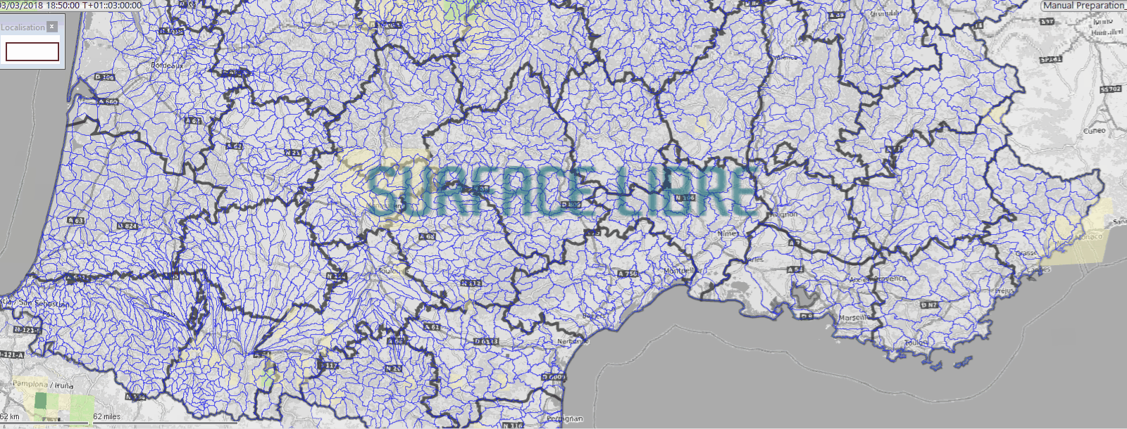
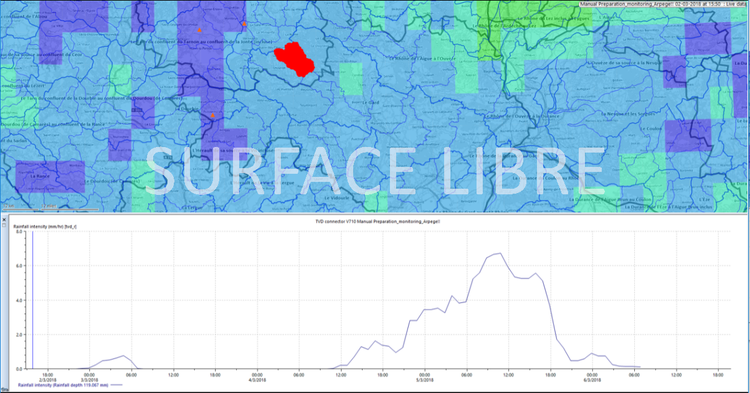
Setup at a large scale, it allows the monitoring of the meteorological forecasts in order to detect intense rainfall events and the corresponding outflow, on a set of subcathments (forecast data : ARPEGE Météo France):
Here, the model detects rainfall depth above the fixed threshold in the meteorological forecasts:
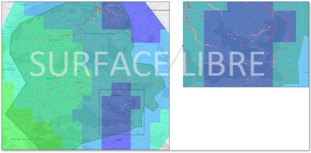
→ a hydraulic model :
The alert then triggers a fully hydrodynamic simulation of the subcatchment where the threshold was overtopped, and provides the potential flooded zones, based on more accurante meteorological forecasts (AROME Météo France) :
This article is part of a set that documents the setup of an experimental real time model, the results don't correspond to real crisis management situations.
Note : Surface Libre is independant from Innovyze (editor) and Geomod (french distributor) of the ICM solutions.
Want to know more about our activities, discuss training or assistance ? Pls go to the contact form here, or say hello on twitter : @surfacelibre